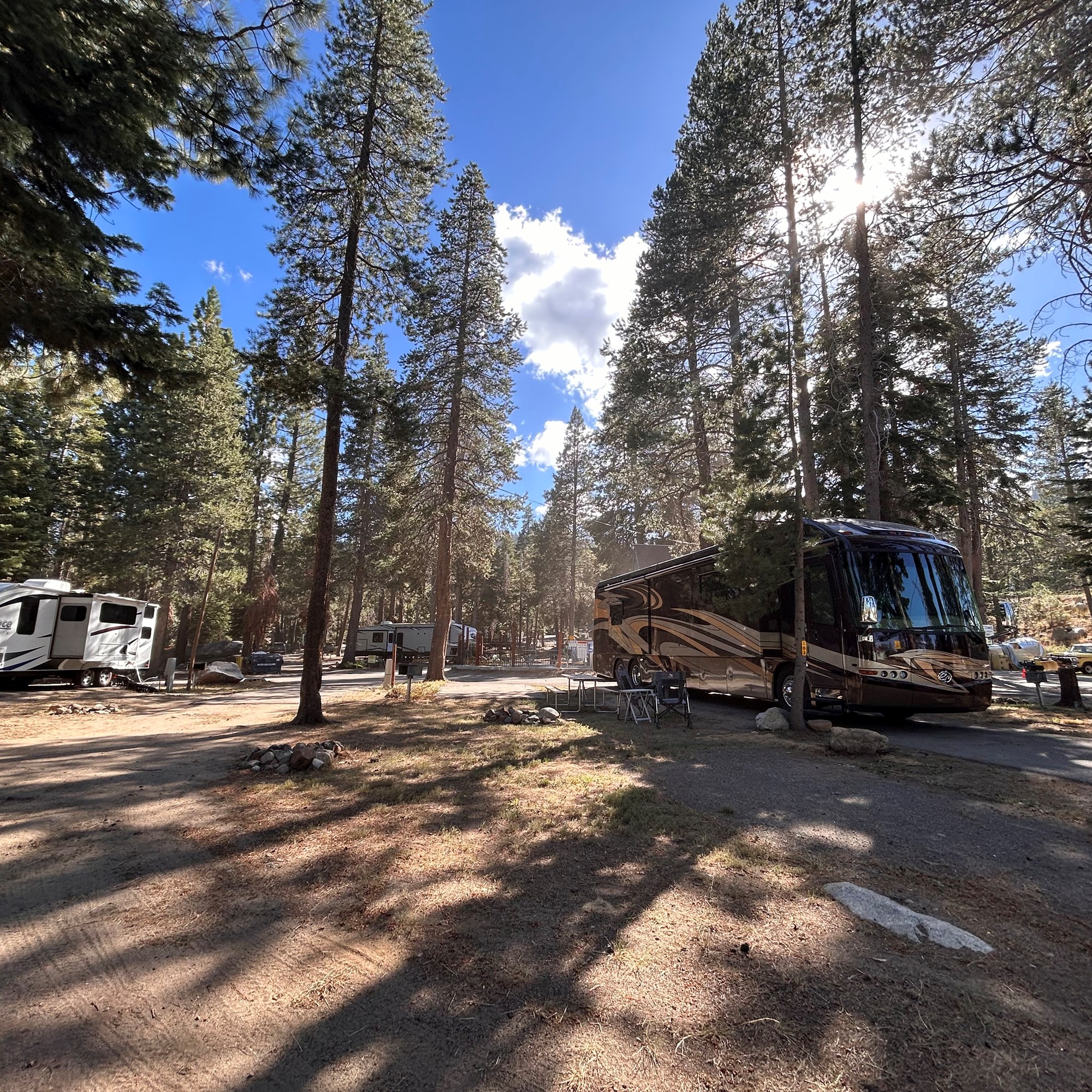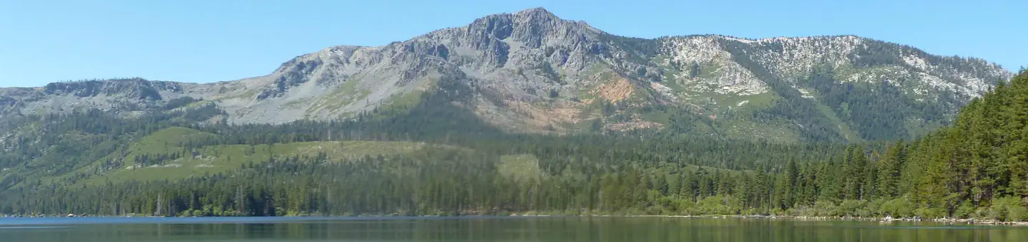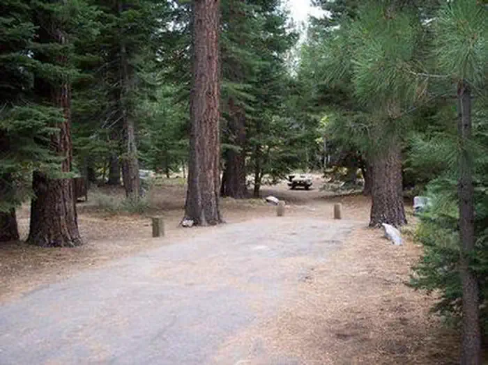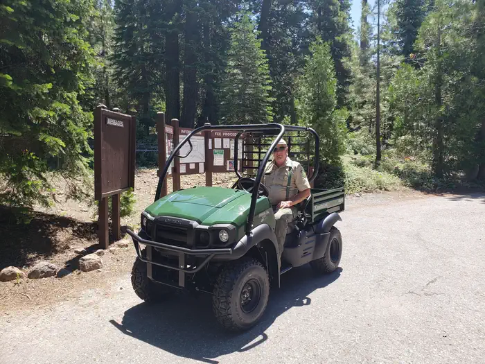
Giant Gap
Tent sites · RV sites
Available · 1 siteSites $24/night
≈ $48 est. for 2 nights · before taxes & fees
Rates & availability from Recreation.gov · View on Recreation.gov ↗

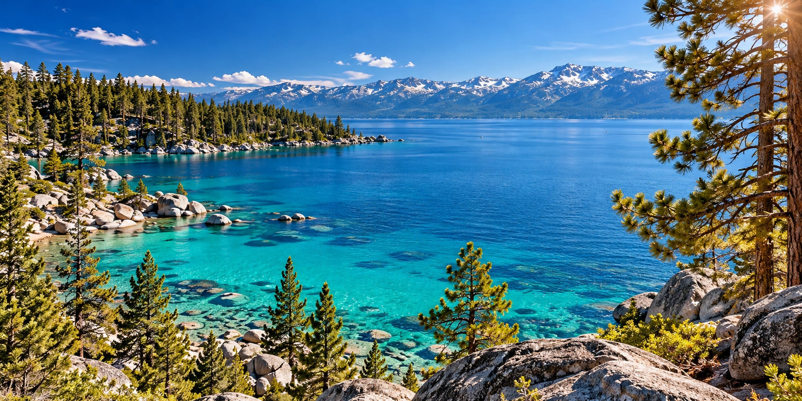
Compare 2,252 campsites across 36 campgrounds, glamping stays and RV parks. See what's open for your dates, then add tours and an RV rental.
Oct 23 – Oct 25 · open every night of the stay.
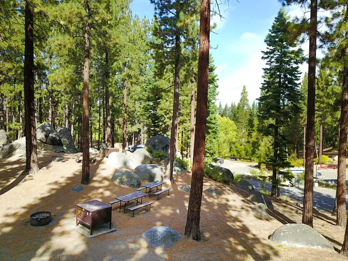
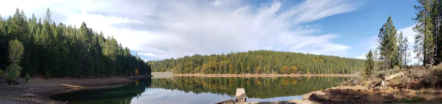
Approx. OSRM fastest route on OpenStreetMap data from each airport to a town or park point in each section (South Lake Tahoe Y, Meeks Bay, Tahoe City, downtown Truckee, Stateline, Incline Village and Spooner Lake), computed 2026-10-18. No traffic, stops, chain controls or closures; not an official source.
| From | South Lake Tahoe CA | West Shore & Emerald Bay CA | North Shore CA | Truckee & Donner CA | Stateline & Zephyr Cove NV | East Shore & Incline NV |
|---|---|---|---|---|---|---|
| Reno-Tahoe Intl (RNO)* | ~1 h 27 ~60 mi | ~1 h 29 ~62 mi | ~1 h 08 ~52 mi | ~48 min ~37 mi | ~1 h 19 ~56 mi | ~53 min–59 min ~33–44 mi |
| Sacramento Intl (SMF) | ~2 h 25 ~113 mi | ~2 h 47 ~131 mi | ~2 h 27 ~120 mi | ~2 h 09 ~108 mi | ~2 h 37 ~118 mi | ~2 h 39–2 h 59 ~126–130 mi |
| San Francisco Intl (SFO) | ~4 h 07 ~197 mi | ~4 h 31 ~213 mi | ~4 h 14 ~210 mi | ~3 h 55 ~198 mi | ~4 h 18 ~202 mi | ~4 h 25–4 h 40 ~215–216 mi |
| Oakland Intl (OAK) | ~3 h 57 ~190 mi | ~4 h 21 ~205 mi | ~4 h 04 ~203 mi | ~3 h 46 ~190 mi | ~4 h 08 ~195 mi | ~4 h 16–4 h 30 ~207–209 mi |
| San Jose Intl (SJC) | ~4 h 27 ~208 mi | ~4 h 51 ~224 mi | ~4 h 33 ~228 mi | ~4 h 15 ~216 mi | ~4 h 38 ~220 mi | ~4 h 45–5 h 00 ~226–234 mi |
* RNO: Nearest airport with airline service; South Lake Tahoe (TVL) and Truckee (TRK) airports have none.
Live road status: Caltrans: SR-89 conditions (Emerald Bay) ↗ · Caltrans QuickMap ↗ · Caltrans: US-50 conditions ↗ · Caltrans: I-80 conditions ↗ · NDOT nvroads.com ↗
Save a campsite, an RV and a couple of tours as you browse. Your plan keeps your dates and setup, shows what each provider says is open, and totals the estimate.
Open My Lake Tahoe TripOne top-rated pick per kind of adventure — lake cruises, clear kayaks, e-bikes, hikes and winter tours — from 132 bookable experiences.
100 rentals near Reno airport, Sacramento, the Bay Area or around the lake.
Best-for RV collections (families, couples, first-timers…) → · Drive distances and times are approximate.